Submitted by Fred Straker on
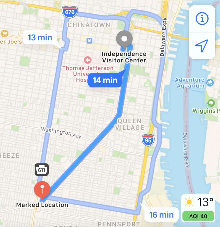
By default, Apple Maps gets directions from your current location, and delivers the distance to your destination. Measuring the distance between two places which are different than the current location takes a few more steps. By marking a location, then getting the route between points, Apple Maps can measure the route distance on the iPhone, iPad, or iPod touch. Travel time based on the mode of transportation chosen, as well as the distance in miles or kilometers is displayed.
To calculate a route between two points with Apple Maps and determine the total distance of the route, follow these steps:
- Launch the Maps app on your iPhone, iPad, or iPod touch
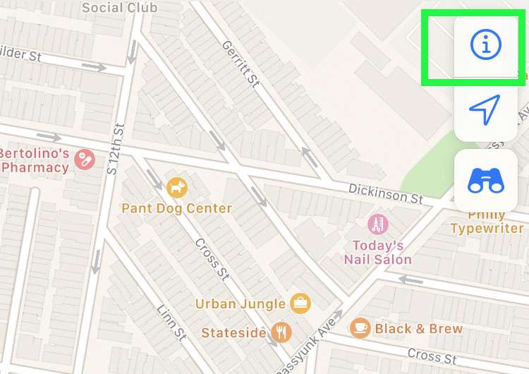
- Tap the info (i) button at the top of the map
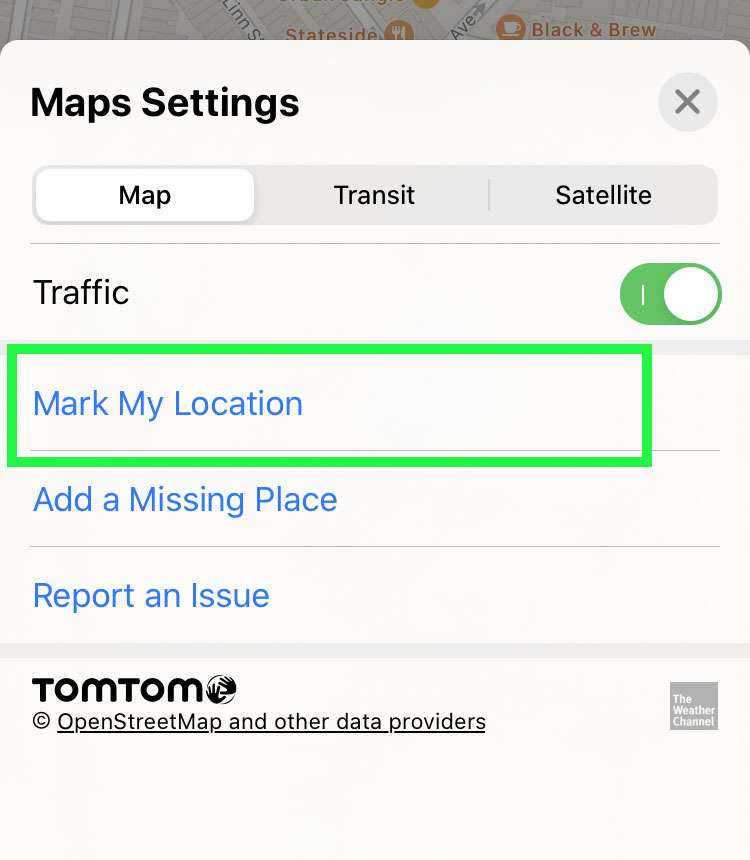
- Tap Mark My Location to drop a marker on the map
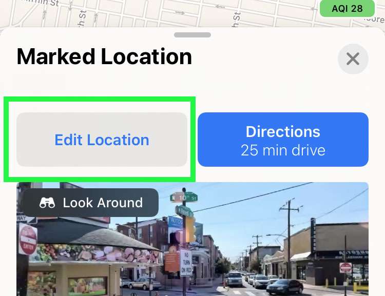
- Choose the Edit Location button below the map
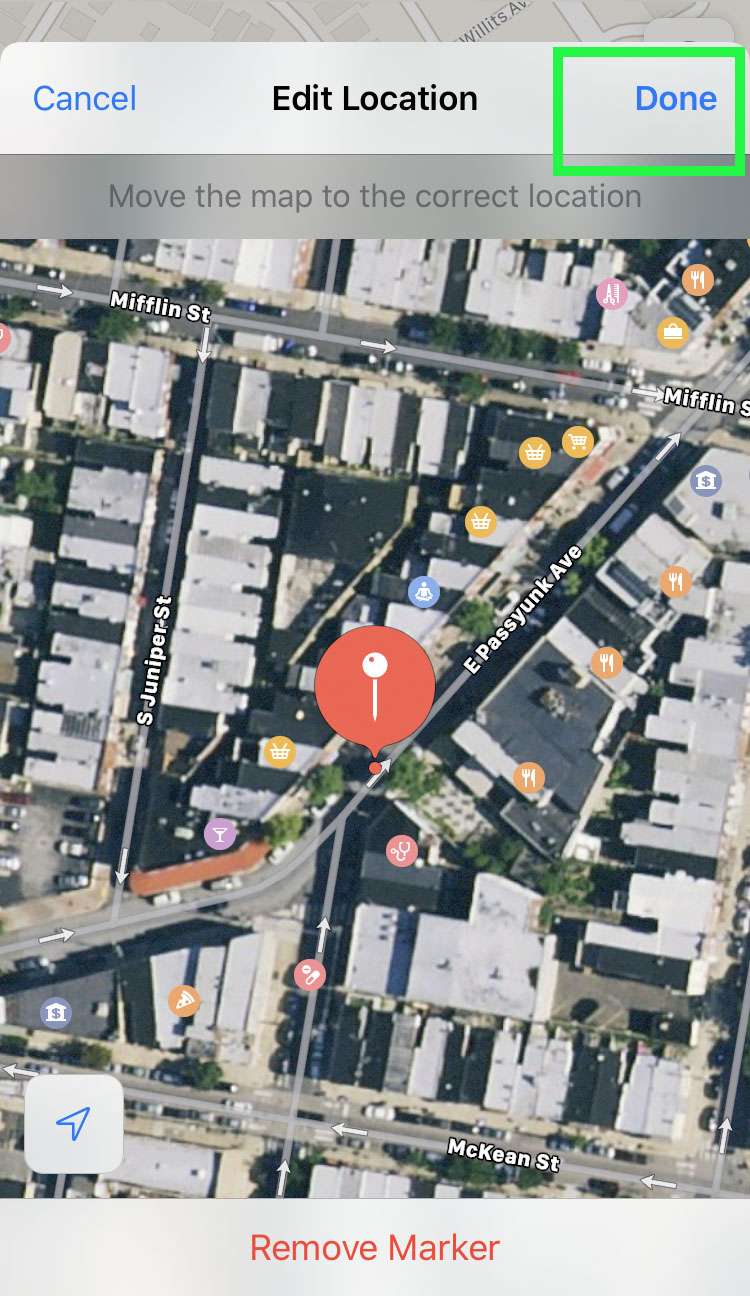
- Move the map around underneath the marker to pick a place, then tap Done
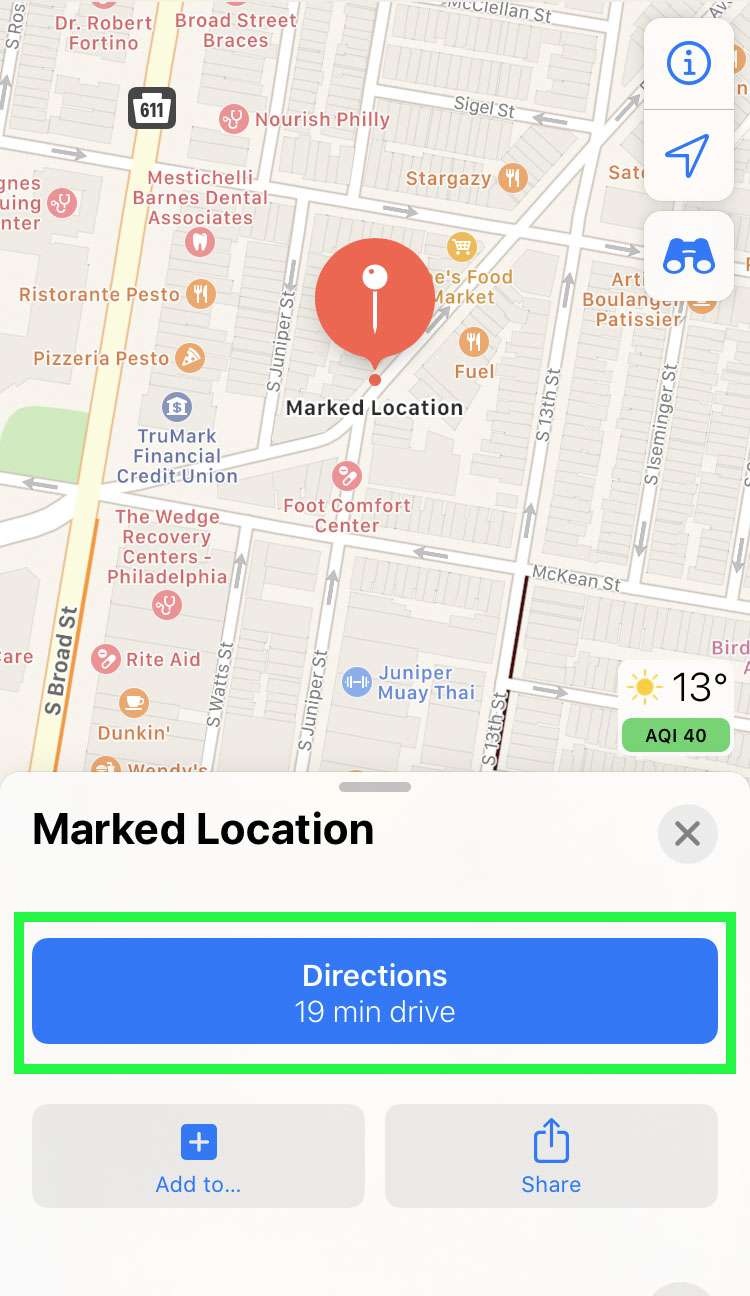
- Once the marker is set, tap Directions
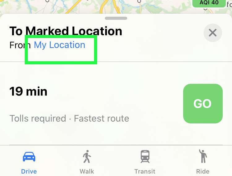
- To select the second location, tap My Location
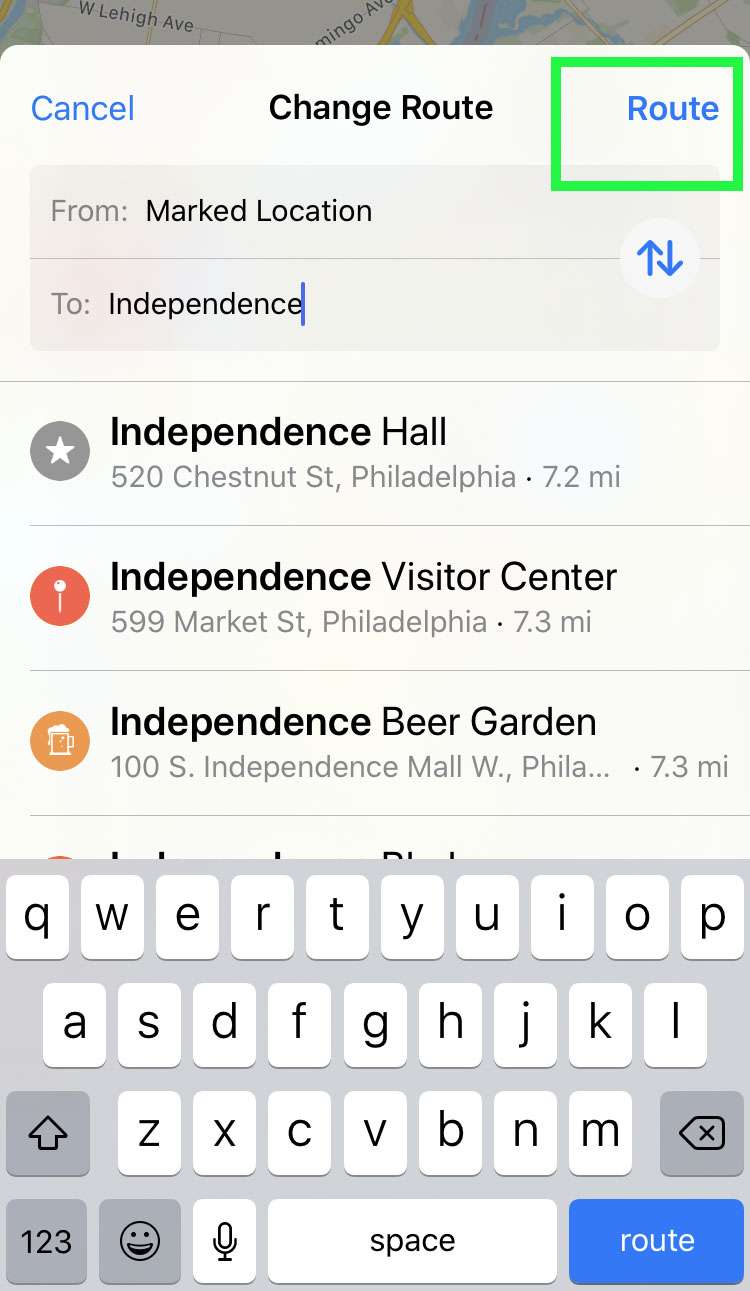
- Enter the second location to the route then tap Route
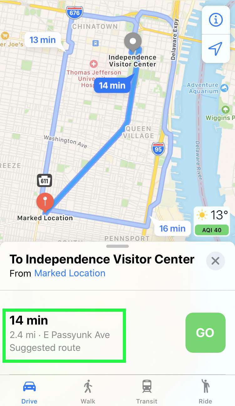
- Apple Maps displays the distance between your two locations below the map
