Coronavirus

Apple launches ability to view local mobility trends in Apple Maps

Apple Mobility Trends

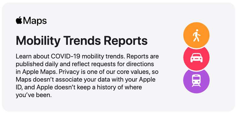
Apple has added more data to its special page titled Apple Maps Mobility Trends Reports. The tool was developed to help mitigate the spread of COVID-19. Anonymous data aggregated from Apple Maps can be displayed for hundreds of countries, states, cities, and regions. This provides insight into how people are responding to stay at home orders and reopening plans in your local area.
Apple begins reopening US retail stores

Apple Stores reopening

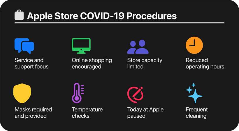
Most Apple stores around the world have been closed for two months due to the global COVID-19 pandemic. Depending on local health data and government guidance in effect, Apple is selectively opening stores to ensure the safety of its customers and employees. For example, Apple stores have reopened in a few countries such as China, Australia, and Germany.

How to find COVID-19 testing sites in Apple Maps

Apple Maps COVID-19 testing

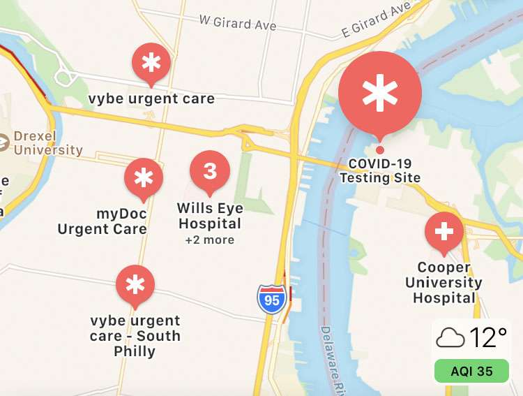
Apple Maps features a section dedicated to COVID-19 testing centers. Hospitals and testing facilities can add their data to Apple Maps using a special registration page. Anyone looking for a COVID-19 test in the United States can see a list of nearby options in Apple Maps on the iPhone, iPad, or iPod touch.

Apple releases COVID-19 screening website and app

Apple COVID-19

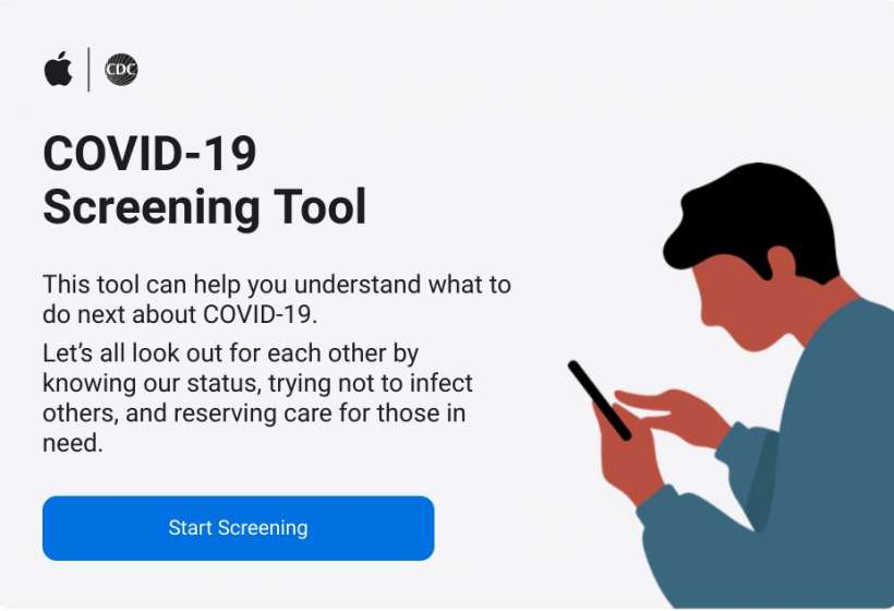
Apple has launched a new app and website with up-to-date information to help people stay informed about COVID-19 aka the coronavirus. Both the app and website were created in partnership with the CDC1, the Coronavirus Task Force and FEMA, according to the press release. The new COVID-19 screening tool and resources aims to help people stay informed and stay safe during the coronavirus outbreak.

Pages

Subscribe to RSS - Coronavirus